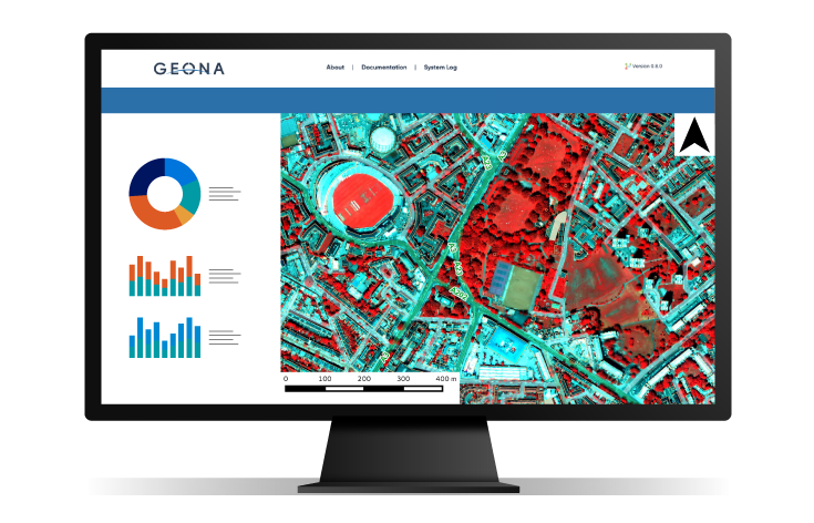
The Intelligent Data Hub provides near real-time and historic access to a range of Earth observation-based data services. This includes existing products which address oil spill detection, harmful algal blooms, ocean fronts, and floating plastic debris, as well as providing a home for new EO data services as they are evolve from research level to commercially applicable services.
Ocean Debris Detection using Satellite Earth observation Applications or ‘ODDESEA’ is a first of a kind, cutting edge service for the detection of floating debris (plastic, sargassum, wood) in the marine environment.
Designed for aquaculture operators and fish health managers, our alerting service provides advance warning of potentially harmful algal blooms allowing precautionary action before it becomes a major problem.
Alleviating the effects of an oil spill event of any significant size requires accurate knowledge of the volume of oil involved and extent of the area affected. We deliver a near real-time service vital for reacting to events as they happen.
Regional to global scale data on the location, size, and persistence of fronts of temperature and chlorophyll concentration. Ocean fronts are formed on the boundary where two water bodies have differing characteristics, either in temperature or nutrient levels, or sometimes both.
We have the ability to accurately identify and quantify aquaculture operations using Synthetic Aperture Radar data from various satellite missions. Our near real-time service is valuable for monitoring licenced activities and in the prevention of illegal or unlicenced activity.
Using a combination of satellite radar and ship position data we can identify dark ships in the battle against Illegal, Unreported and Unregulated (IUU) fishing activity. Access both near real-time and historical data to see changes in patterns or intensity over time. An extensive suite of additional metocean and environmental variables are also available.
An extensive suite of additional metocean and environmental variables are also available.